29 square kilometres, 700 people, no tarmac – La Graciosa
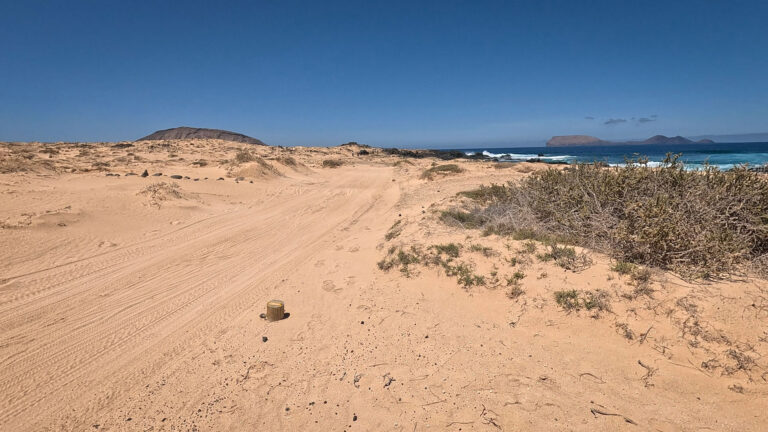
There are places where time passes more slowly. La Graciosa is one such place – but that’s not quite true. Time doesn’t pass more slowly here. It passes differently. Without the hustle and bustle that you no longer notice on the mainland because you’ve grown so used to it. No tarmac roads beyond the village limits. No traffic jams. No noise apart from the wind, seagulls and waves.
29 km² Area. ~700 inhabitants. 8th Canary Island – La Graciosa has only held this status since 2018, although it has existed for ages. For decades, it was administratively part of Lanzarote. Then people realised what the locals had always known: La Graciosa is a world of its own.
Geography: the island and its archipelago
El Río – the narrow strait
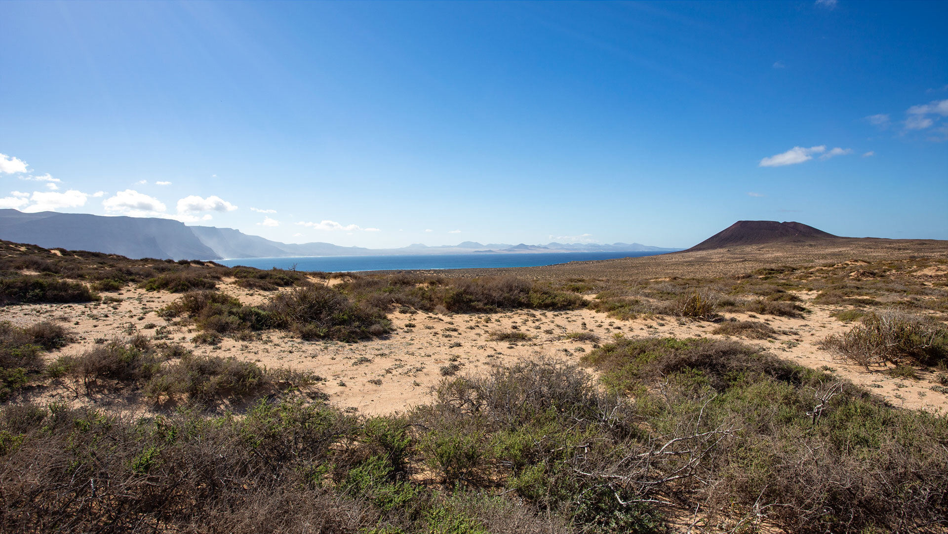
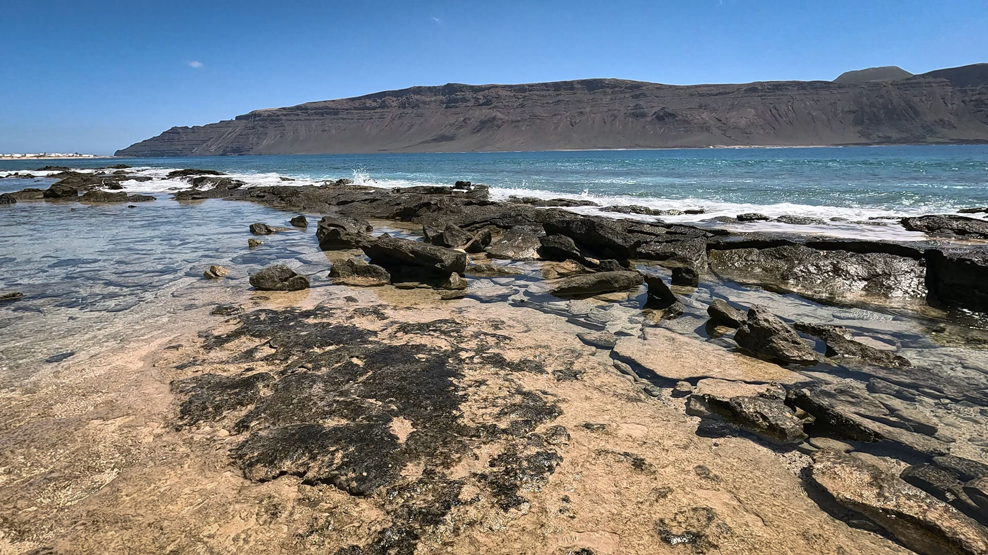
Between La Graciosa and Lanzarote lies the strait El Río – just one kilometre wide at its narrowest point. On the other side: the Risco de Famaraa cliff face over 400 metres high that separates the small island from the large one. This panorama – La Graciosa in the foreground, Famara behind – is one of the most distinctive in the Canary Islands.
volcanoes, sand, the Atlantic
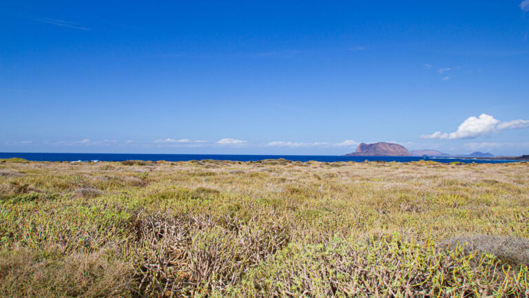
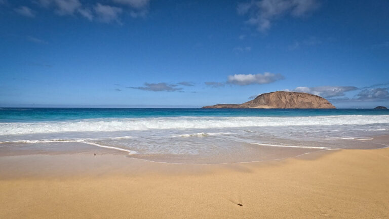
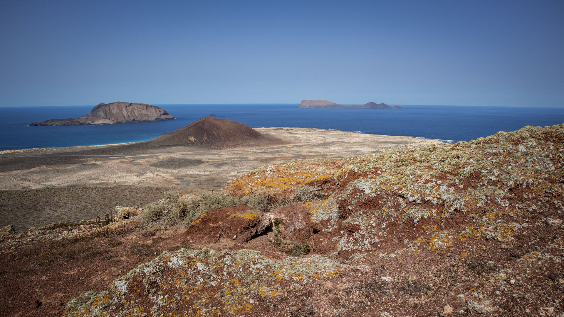
La Graciosa is both flat and mountainous. The island’s edges are sandy, whilst the interior is criss-crossed by volcanic cones: Las Agujas Grandes (266 m) the highest peak, Montaña Amarilla (172 m) the most spectacular. In between: sandy tracks, lava fields, dunes and, time and again, the turquoise Atlantic.
| La Graciosa — Facts | |
|---|---|
| Area | ~29 km² |
| Population | ~700 (only Caleta del Sebo is inhabited all year round) |
| Status | 8th Canary Island (official since 2018) |
| Administration | Municipality of Teguise, Lanzarote |
| Highest point | Las Agujas Grandes, 266 m |
| Getting there | Ferry from Órzola, ~25–30 mins |
| No tarmac roads | Outside Caleta del Sebo |
The people: fishermen, those seeking peace and quiet, dropouts
Caleta del Sebo: the only village
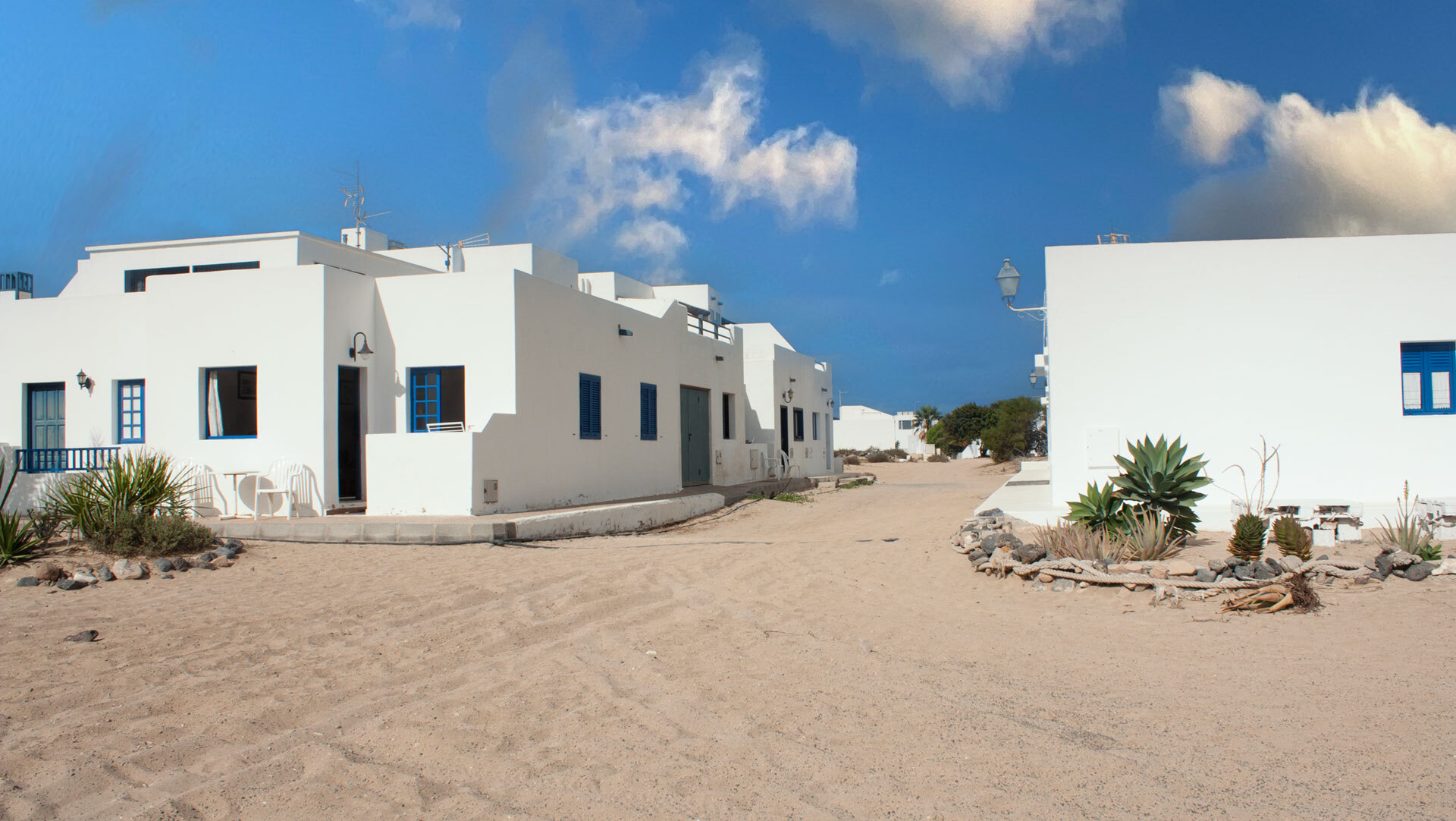
Caleta del Sebo~700 inhabitants, white houses, blue shutters, sandy lanes. The only village on La Graciosa that is inhabited all year round. Fishing boats in the harbour, the smell of salt and fresh fish, children playing on sandy streets. The village hasn’t succumbed to tourism – and you can tell.
Who comes here?
Cyclists keen to explore the sandy tracks. Snorkellers wanting to experience Europe’s largest marine protected area. Beach lovers seeking the solitude of Playa de las Conchas. Dropouts who want to disconnect from the internet, at least for a few days. La Graciosa attracts people who are looking for something that has been lost elsewhere.
La Graciosa as an independent island
For decades, La Graciosa it was treated as an appendage of Lanzarote. No official island status, no representation of its own, no voice. Since 2018 things have changed: La Graciosa is the 8th Canary Island – symbolic, but significant.
Nature conservation
- Wild camping prohibited
- Campfires prohibited
- Chinijo Archipelago Nature Park · Lanzarote UNESCO Biosphere Reserve · Chinijo Archipelago Marine Reserve (70,000 ha)
Around 700 people live in Caleta del Sebo – the only settlement inhabited all year round. Pedro Barba has around 15 houses, which are mainly used in the summer.
For nature conservation reasons. La Graciosa is situated within the Archipiélago Chinijo Nature Park and the UNESCO Biosphere Reserve. Tarmac would disrupt the ecological balance.
Conclusion
- La Graciosa isn’t small – it’s compact. 29 km², but every square metre counts.
- The 8th Canary Island has a character all of its own: no hustle and bustle, no tarmac, no mass tourism.
- Anyone who understands La Graciosa understands what the other Canary Islands have lost.
This article is based on on-site research by the go-la-graciosa.com editorial team. Last updated: April 2026