
Officially recognised as the eighth Canary Island since 2018, La Graciosa is the Atlantic’s best-kept secret. Just 29 km² in size, with around 700 residents, no tarmac beyond the village, no hire cars, no hotel resorts. Instead: seven unspoilt beaches, five volcanic cones, the crystal-clear waters of the Reserva Marina del Archipiélago Chinijo, and a stillness that has become rare in Europe.
You reach the island by ferry from Órzola (Lanzarote) — a 25-minute crossing over the El Río strait. And the moment the ramp hits the sand at Caleta del Sebo, you understand at once: everything here is different.
The Seven Beaches — Each With Its Own Character
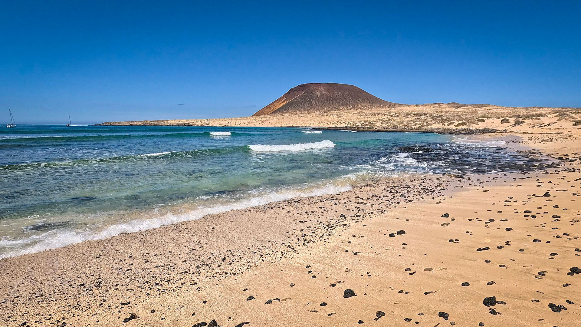
Playa Francesa — The Most Popular Beach
Located on the east coast, just 2.5 km from the harbour, Playa Francesa is the classic beginner’s beach. Calm, turquoise water, a sandy seabed, and no dangerous currents. Reachable by bike in 20 minutes.
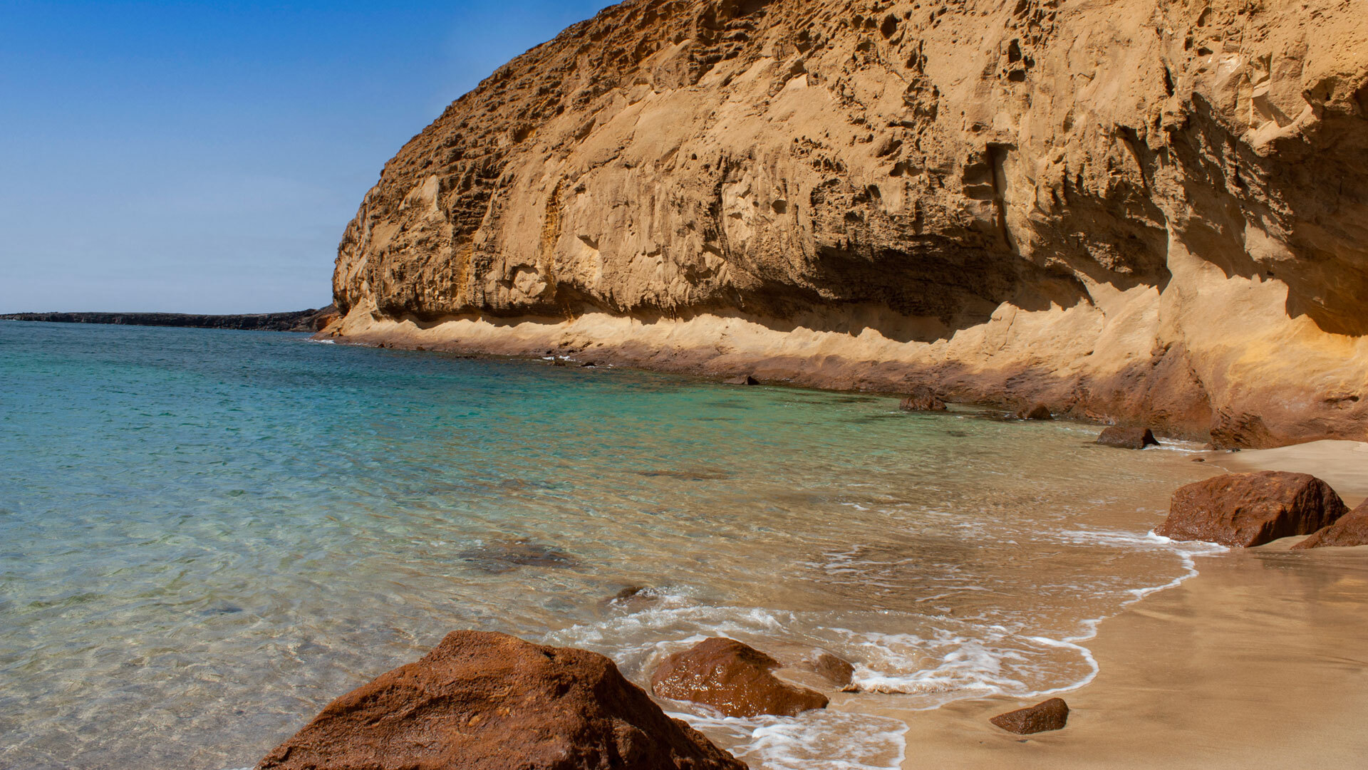
Playa de la Cocina & Montaña Amarilla
At the foot of Montaña Amarilla (172 m) lies Playa de la Cocina — the island’s best snorkelling cove. The volcano’s yellow and red tuff rock, the turquoise water, the silence: one of the most beautiful coves in the Canary Islands.
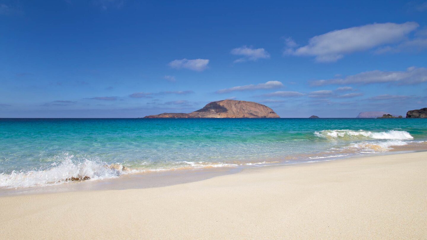
Playa de las Conchas — The Most Spectacular
The island’s most spectacular beach lies to the north, at the foot of Montaña Bermeja (157 m). Fine white sand, a dramatic backdrop, with Montaña Clara directly opposite. Swimming is often impossible due to strong currents — but as a landscape, it’s unrivalled.
The Island at a Glance
| Parameter | Facts |
|---|---|
| Location | North Atlantic · 2 km northwest of Lanzarote |
| Area | 29 km² · 8th Canary Island since 2018 |
| Population | approx. 700 · only village: Caleta del Sebo |
| Protected status | Archipiélago Chinijo Nature Park · UNESCO Lanzarote Biosphere Reserve · Reserva Marina (70,000 ha) |
| Getting there | Ferry from Órzola (Lanzarote) · 25–30 min · Líneas Romero & Biosfera Express |
| Roads | Only sand tracks outside Caleta del Sebo · no hire cars · bicycle & jeep taxi |
| Beaches | 7 beaches: Playa Francesa · Playa de la Cocina · Playa de las Conchas · Playa del Salado · Playa del Ámbar · Playa de Pedro Barba |
| Climate | Mild year-round · 18–28°C · 300 days of sunshine a year |
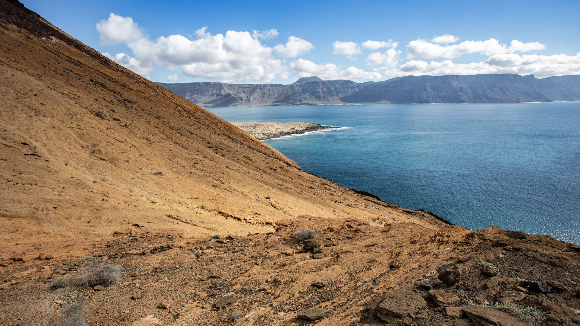
Hiking on La Graciosa
The trail network covers around 30 km of sand tracks through volcanic landscapes, along coastal cliffs and over dune fields. Four main routes cross the island:
- Southern Circular Route (11.2 km · 254 m ascent · moderate): Montaña Amarilla, Playa de la Cocina, Playa Francesa
- East Coast Loop (13.8 km · 108 m ascent · moderate): Pedro Barba, Barranco de los Conejos
- Northern Island Circuit (19.3 km · 279 m ascent · challenging): Playa de las Conchas, Montaña Bermeja, Pedro Barba
- Montaña Amarilla Beach Walk (8.5 km · 321 m ascent · moderate): Summit loop with crater crossing
All routes via Sunhikes
Practical Travel Tips
Lanzarote (ACE Airport) is the springboard. From there to Órzola (approx. 50 km, 45–60 min), then by ferry:
- Líneas Romero — approx. €28–29 return
- Biosfera Express — similar pricing
- Up to 17 crossings daily · Online booking recommended
- Evita Beach — sea view · approx. €130–200/night
- Apartamentos Flor — approx. €80–120/night
- Pensión Enriqueta — approx. €50–70/night
- Camping El Salado — free with permit
On foot, by bicycle, or book a 4×4 jeep taxi.
- MTB from ~€10/day, E-Bike from ~€25/day. Rentals in Caleta del Sebo
- Licensed jeep taxis with driver — from ~€10/person for a beach transfer, from ~€60 for the northern tour.
Nature Conservation on La Graciosa – Nature Park, UNESCO & Reserva Marina
La Graciosa is part of the Archipiélago Chinijo Nature Park and the UNESCO Lanzarote Biosphere Reserve (since 1993). The surrounding waters form the Reserva Marina del Archipiélago Chinijo — one of the largest marine protected areas in Europe, covering 70,000 ha.
Wild camping prohibited · only at Camping El Salado with a permit
Campfires prohibited · across the entire island
Vehicles off designated tracks prohibited · only certified jeep taxis
Unsupervised diving without a guide prohibited
La Graciosa Travel Guide: Beaches, Hiking, Excursions & More
All 7 beaches in detail – safety, access, snorkelling & insider tips. From Playa Francesa to Playa de las Conchas.
Discover La Graciosa on foot: all routes with GPS tracks, elevation profiles, difficulty levels & Sunhikes links for detailed descriptions.
Jeep safaris, catamaran tours, snorkelling, César Manrique on Lanzarote & boat trips and diving adventures. Everything bookable at a glance.
Restaurants in Caleta del Sebo, recipes for vieja al mojo, papas arrugadas & mojo, fresh fish straight from the harbour.
Getting there, ferries, bike rental, Camping El Salado, weather, budget & everything practical for the perfect trip.
Angel sharks, volcanoes, starry skies, the Reserva Marina, birdlife & the geology of the 8th Canary Island.
FAQ — Frequently Asked Questions about La Graciosa
By ferry from Órzola on Lanzarote. Líneas Romero and Biosfera Express offer up to 17 crossings daily. Crossing time: approx. 25–30 minutes, approx. €28–29 return.
Possible all year round. Spring (April–May) and autumn (September–October) are ideal: warm, calm seas, fewer tourists. Summer (July–August) is peak season with more visitors and higher prices.
No. There are no car rentals on La Graciosa. The way to get around is by bicycle (e-bike recommended) or certified jeep taxi. Only sand tracks outside the village centre.
No. None of the beaches on La Graciosa are supervised. You swim at your own risk. Pay attention to the flag system — a red flag means swimming is strictly prohibited.
Wild camping is prohibited. The only legal campsite is Camping El Salado — free with a permit via reservasparquesnacionales.es.