Lace up your boots, set your sights on the horizon – hiking on La Graciosa
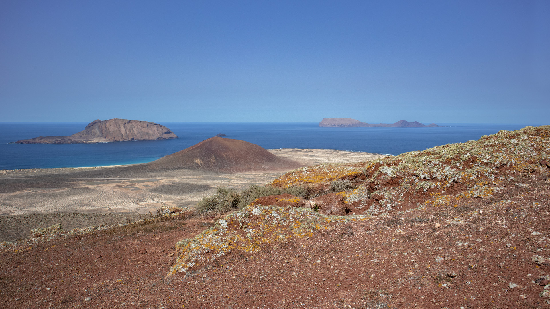
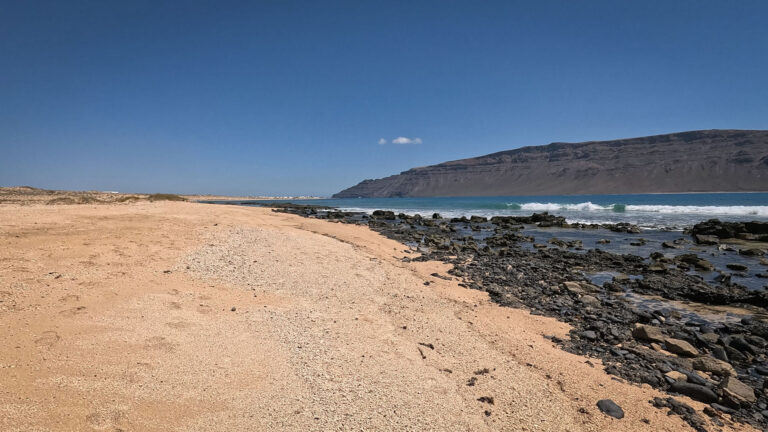
La Graciosa is not a traditional hiking destination. There’s no network of signposted trails, no mountain huts, no kiosk at the summit. What you’ll find here are sandy tracks, volcanoes, lava fields and a coastline that stretches out in every direction. The 8th Canary Island – officially recognised since 2018 – rewards anyone who approaches it on foot with solitude, vastness and a sense of unspoilt nature that is hard to find on the other Canary Islands.
Archipiélago Chinijo Nature Park and the Lanzarote UNESCO Biosphere Reserve provide the backdrop. Around 29 km² square kilometres in area, with a population of around 700, and not a single tarmac road beyond the outskirts of the village of Caleta del SeboThe paths? Sand, lava and silence.
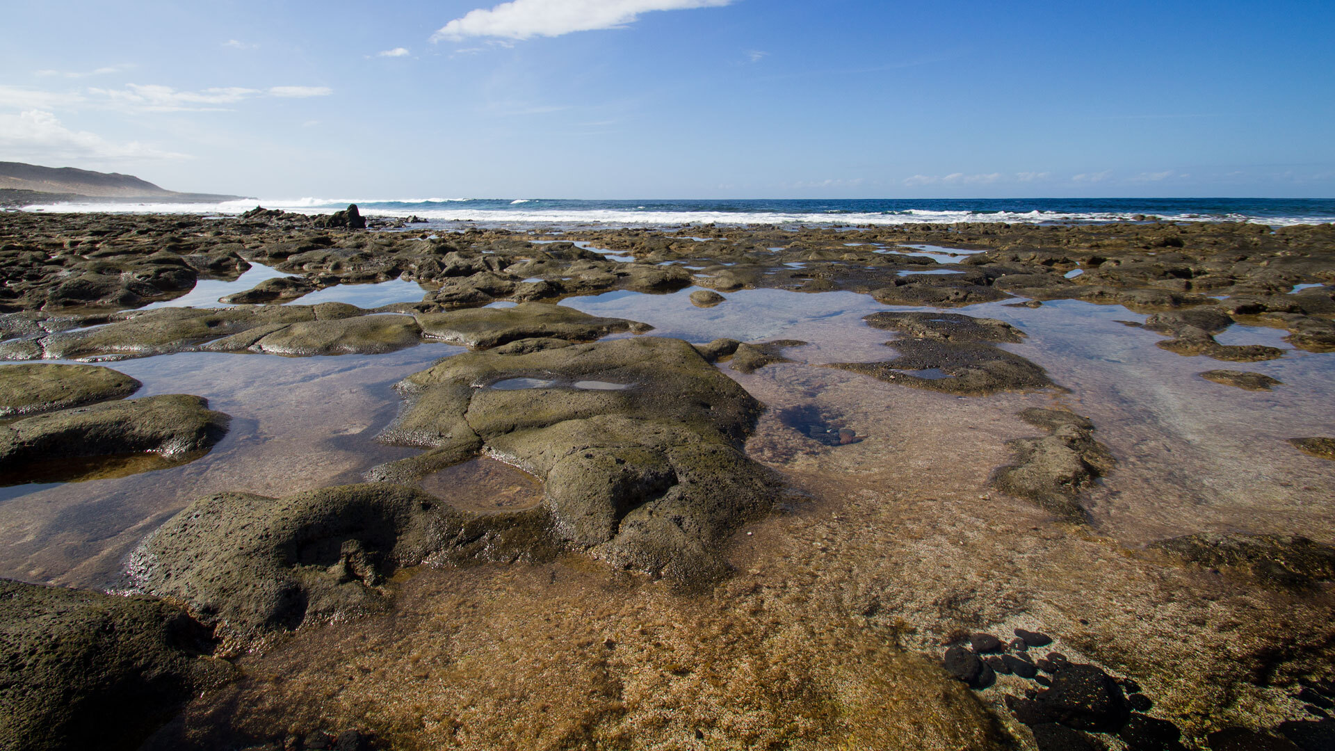
An overview of the walking routes
Easy routes – ideal for beginners
| Route details at a glance | |
|---|---|
| Route | Family-friendly south coast loop |
| Length | 9,2 km |
| Elevation gain | 58 hm |
| Walking time | 2.5–3 hours |
| Difficulty | Easy |
| Start/Finish | Caleta del Sebo |
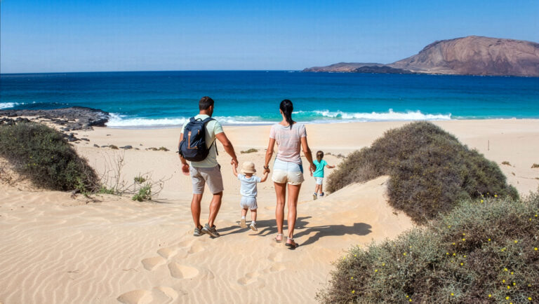
Playa Francesa and Playa de la Cocina These are the highlights of this family-friendly route: flat, close to the beach, with no particularly challenging terrain. Ideal for your first day on the island or for walks with children.
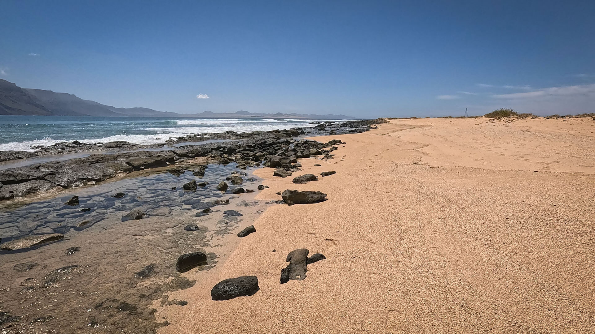
Moderate routes – the best the island has to offer
Montaña Amarilla (11.2 km, 254 m elevation): yellow volcanic crater, turquoise lagoon, panoramic views from the summit of the Archipiélago Chinijo.
Die Circular walk along the east coast (13.8 km, 108 m elevation) leads through the Barranco de los Conejos to Pedro Barba and back – a leisurely, long walk with sweeping views of Lanzarote.
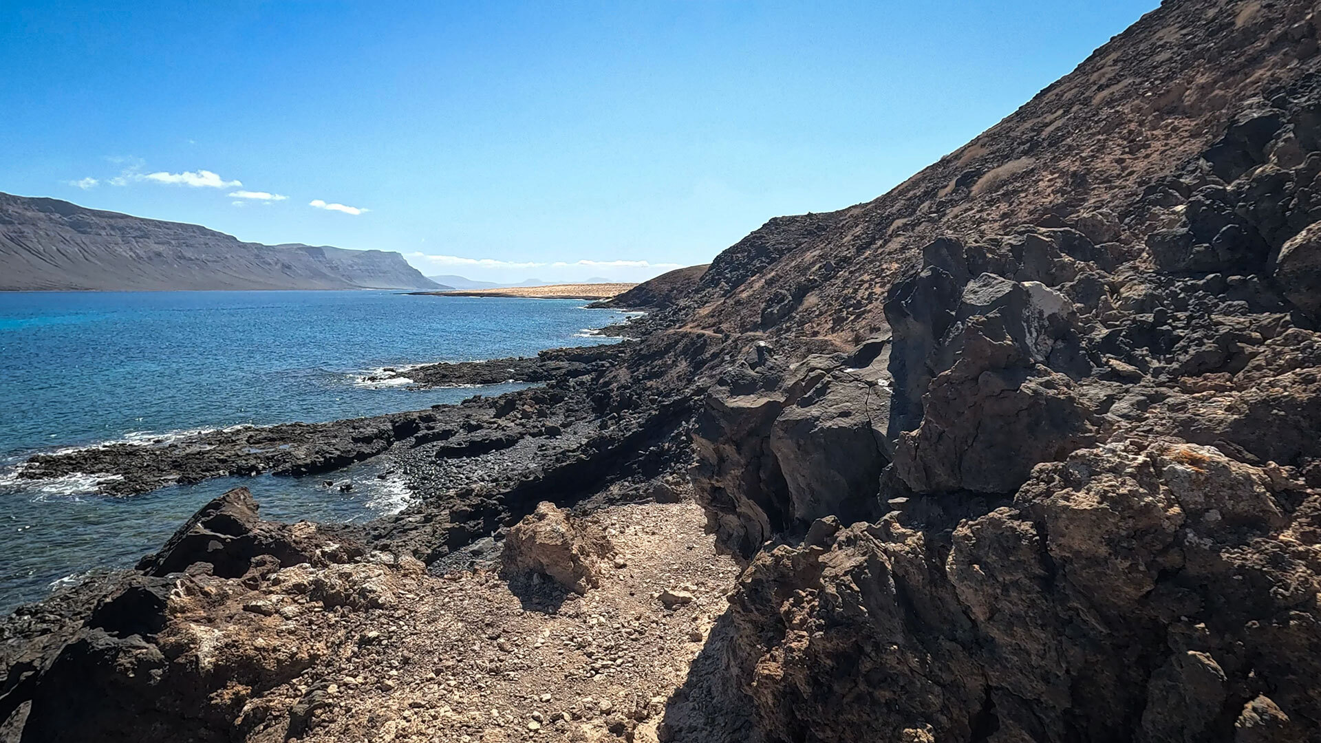
Challenging routes – for true adventurers
Rugged ascent of Agujas Chicas (347 m elevation, no marked path): the highest point on the island, no marked trail.
Northern island circular walk (19,3 km): Playa de las Conchas – the most beautiful beach in the Canary Islands – plus the rugged north coast with the Los Arcos de los Caletones.
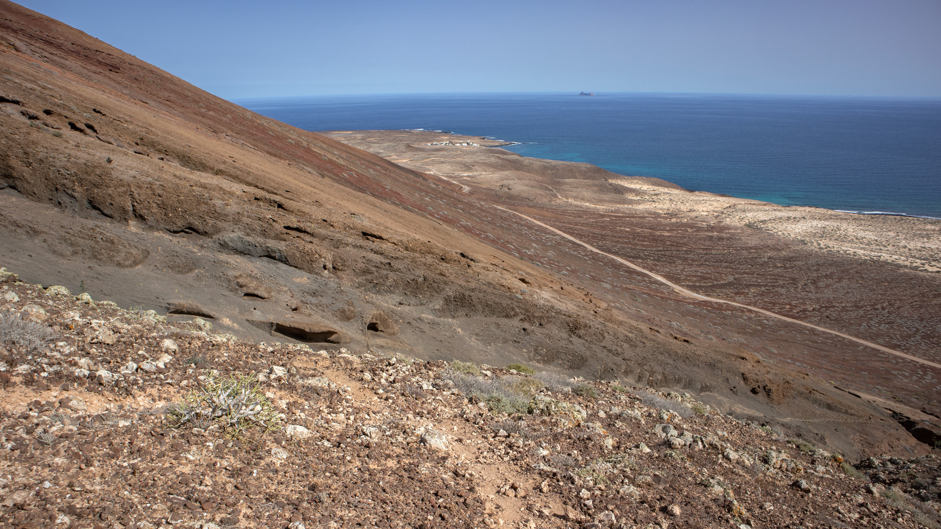
Preparation: What you need to know
Equipment & water
At least 2 litres of water per person is essential – even for shorter routes. Sturdy footwear with a good tread is not an optional extra. Sunscreen SPF 50+a hat and sunglasses: the island offers hardly any natural shade.
Sunhikes is the main portal for GPS tracks and route descriptions for all La Graciosa trails. Download the tracks before leaving Caleta del Sebo – mobile phone reception is unreliable outside the village.
⚠️ Safety
At least 2 litres of water per person – no water supplies outside Caleta del Sebo
Sturdy footwear with good tread – lava rock and sandy tracks are not suitable terrain for trainers
Sunscreen SPF 50+, hat and sunglasses – very little natural shade
Download the GPS track via Sunhikes before setting off
Emergency number: 112 (across Europe)
Nature conservation on La Graciosa
- Wild camping prohibited – without exception across the entire island
- Campfires prohibited – including on the beach
- Bicycles only on designated tracks – do not leave the sandy tracks
- Do not take any stones, shells or plants with you
- Protected areas: Archipiélago Chinijo Nature Park · Lanzarote UNESCO Biosphere Reserve · Archipiélago Chinijo Marine Reserve
Frequently asked questions
There are hardly any official guided tours on La Graciosa. Most walkers explore the island independently – using GPS tracks from Sunhikes. GetYourGuide occasionally offers day trips with local guides.
The southern circular walk via Montaña Amarilla is the highlight for most people: a yellow volcanic crater, a turquoise lagoon and panoramic views of the Chinijo Archipelago. For those seeking solitude: the northern circular walk around the island.
Wild camping is prohibited. The only official option is Camping El Salado – book in advance via reservasparquesnacionales.es.
Conclusion
- La Graciosa is the most unspoilt hiking destination in the Canary Islands – free from mass tourism, with no tarmac beyond the village boundaries.
- Routes range from easy (9.2 km south coast loop) to challenging (Agujas Chicas, no marked path, 347 m elevation).
- Preparation is essential: water, suitable footwear, GPS track via Sunhikes.
This article is based on on-site research by the go-la-graciosa.com editorial team. Last updated: April 2026
Detailed route description & GPS track: sunhikes.com/de/wanderziele/spanien/lanzarote/la-graciosa