Yellow, wild, unforgettable – a hike to Montaña Amarilla
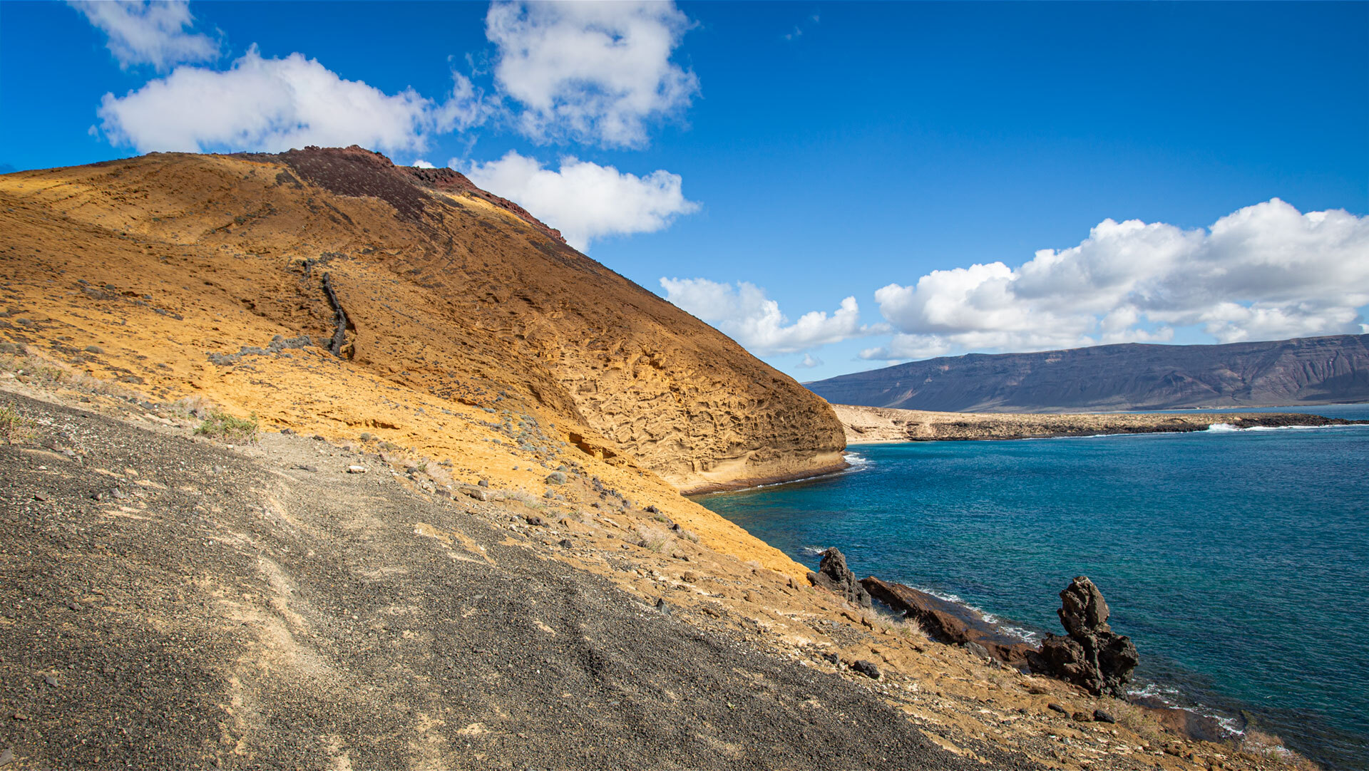
Montaña Amarilla – the yellow mountain. A volcanic cone made of tuff, glowing in shades of yellow, red and orange. The hike there is the picture-postcard view of La GraciosaAt its foot: the turquoise lagoon of Playa de la CocinaAt its summit (172 m): a 360-degree panorama of the entire Chinijo Archipelago.
Route details
| Route details at a glance | |
|---|---|
| Start/Finish | Caleta del Sebo (harbour) |
| Length | 11.2 km (southern circular walk) |
| Ascent | 254 hm |
| Walking time | 3.5–4.5 hours |
| Difficulty | Moderate – partly off-trail at the summit |
| Markings | None – GPS track essential |
| Best time of year | October – May |
| Highlights | Yellow volcanic crater · turquoise lagoon · panoramic views from the summit |
The route: from Caleta del Sebo to the summit
Along the south coast to Playa Francesa
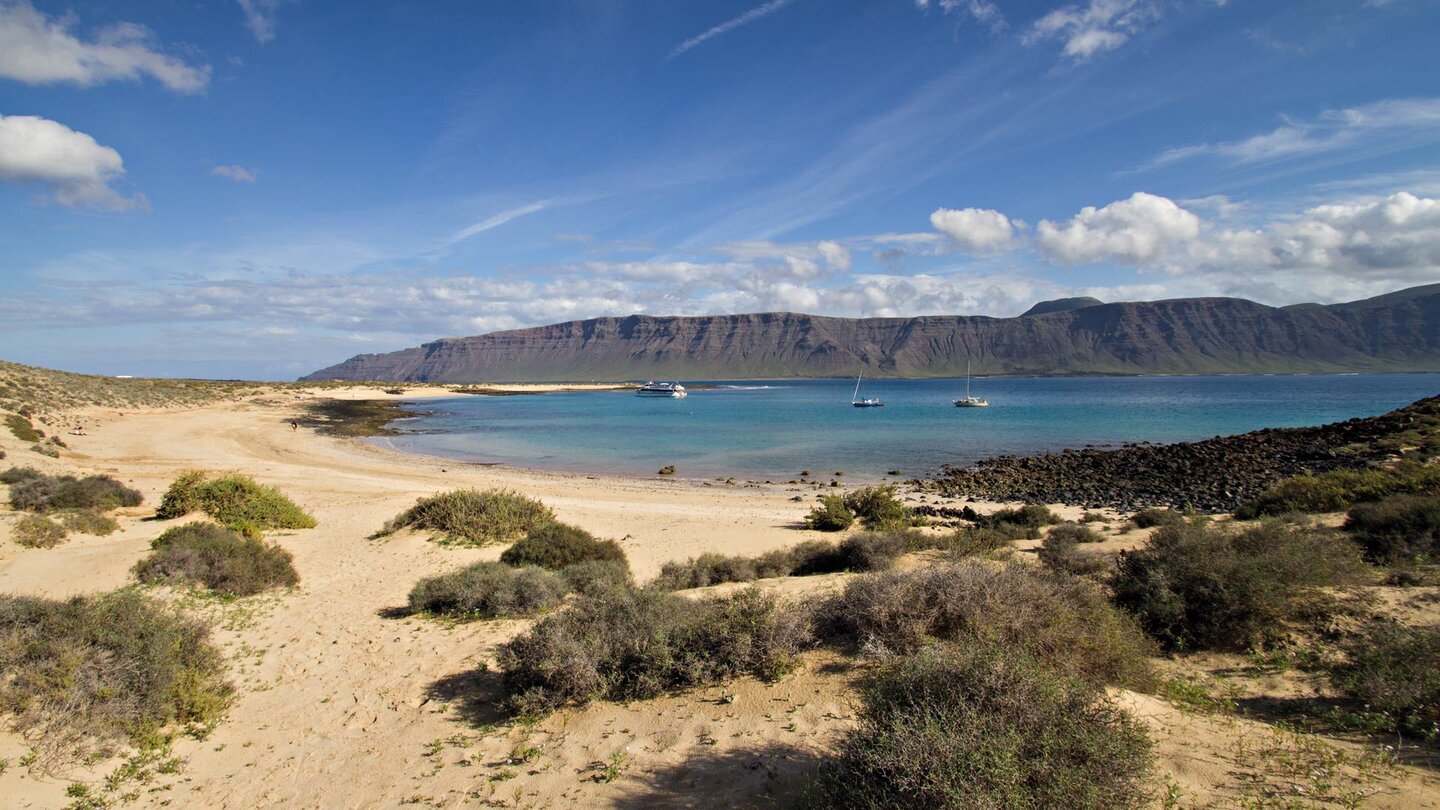
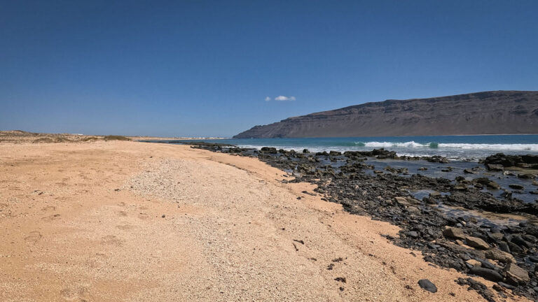
Playa Francesa – at the East coast of the island, sheltered by the Famara massif on Lanzarote in the background – is the first stop. Peaceful, clear, ideal for a break. From here, the route continues southwards to Playa de la Cocina.
Playa de la Cocina – the turquoise lagoon
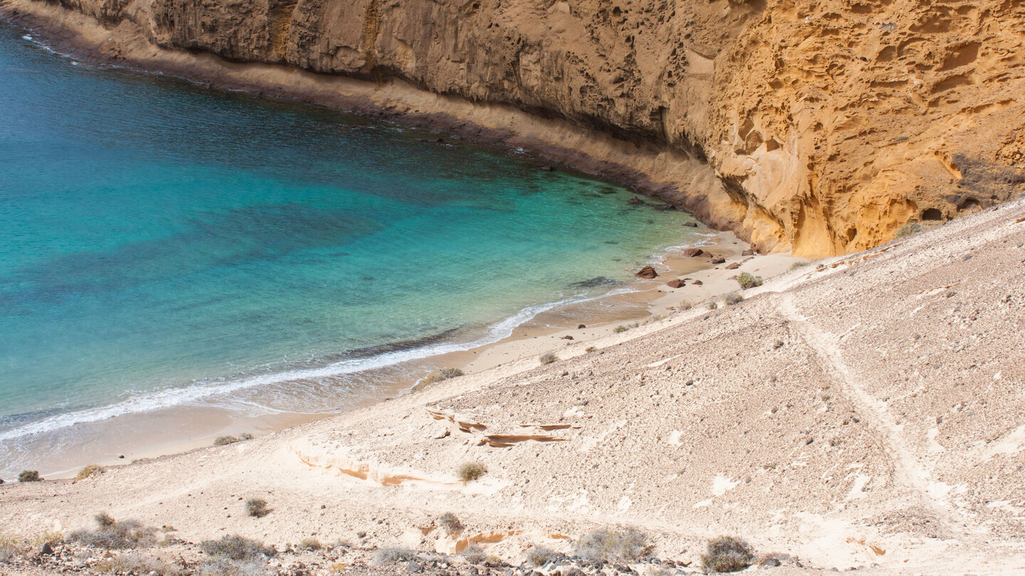
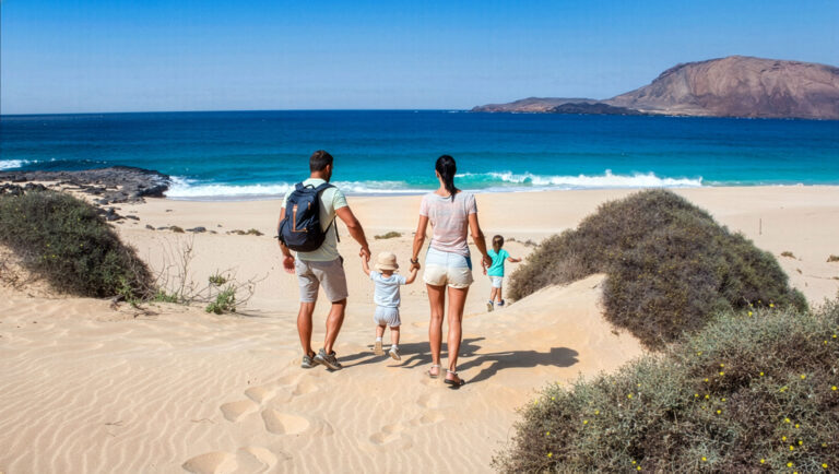
A sheltered bay at the foot of the Amarilla, with fine sand and turquoise-blue water reminiscent of Caribbean beaches. This is where the easy part of the route ends.
Summit climb: partly off-trail, always spectacular
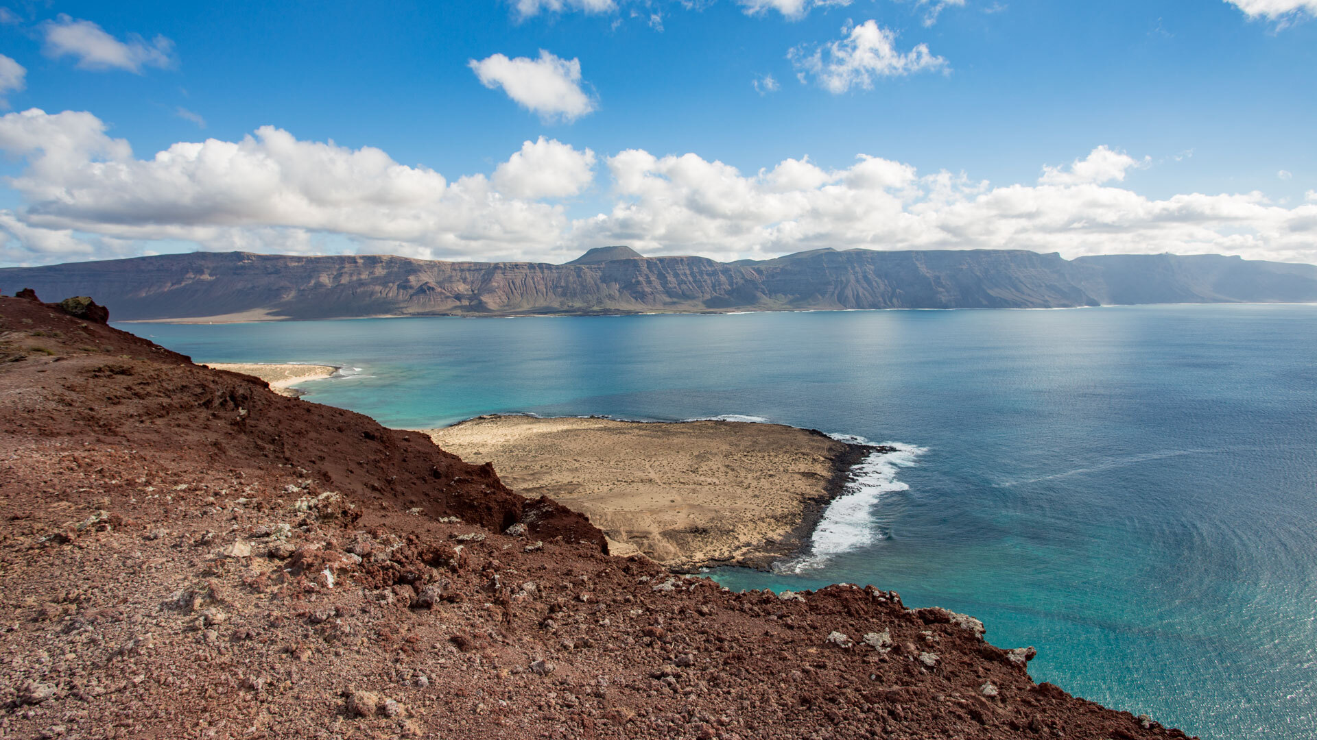
Sure-footedness required is a must-see. The crater opens out towards the sea. The view of the Chinijo Archipelago and Lanzarote is, in itself, worth the whole trip.
⚠️ Safety
The summit area is partly off-track – sure-footedness required
At least 2 litres of water – no kiosks along the route
Sun protection essential – very little shade
Download the GPS track via Sunhikes before setting off
Sturdy footwear essential – not suitable terrain for sandals
Practical tips
- Best start time: 7–8 am – the summit is more pleasant early on
- Alternative return route: walk along the beach at Montaña Amarilla (11.3 km)
- Plan a swim break at Playa de la Cocina or Playa Francesa
- Binoculars recommended: all the Chinijo Islands are visible from the summit
Frequently asked questions
Yes – GPS track via Sunhikes, sturdy footwear, plenty of water. There is no marked path in the summit area, but the route is manageable.
Moderate, with a challenging final section to the summit. Anyone who hikes occasionally and is sure-footed will manage the route without any problems.
At Playa de la Cocina: yes, and it’s excellent in calm weather. The turquoise water is clear and shallow – ideal for a swim.
Conclusion
- Montaña Amarilla is the landmark of La Graciosa – and the hike is one of the most beautiful in the Canary Islands.
- A yellow volcanic crater, a turquoise lagoon, panoramic views of the Chinijo archipelago from the summit: all within 11.2 km.
- Download the GPS track, wear sturdy footwear, and take plenty of water. The island will take care of the rest.
This article is based on on-site research by the go-la-graciosa.com editorial team. Last updated: April 2026
Detailed route description & GPS track: sunhikes.com/de/wanderziele/spanien/lanzarote/la-graciosa