No mobile signal, no problem – the best hiking apps for La Graciosa
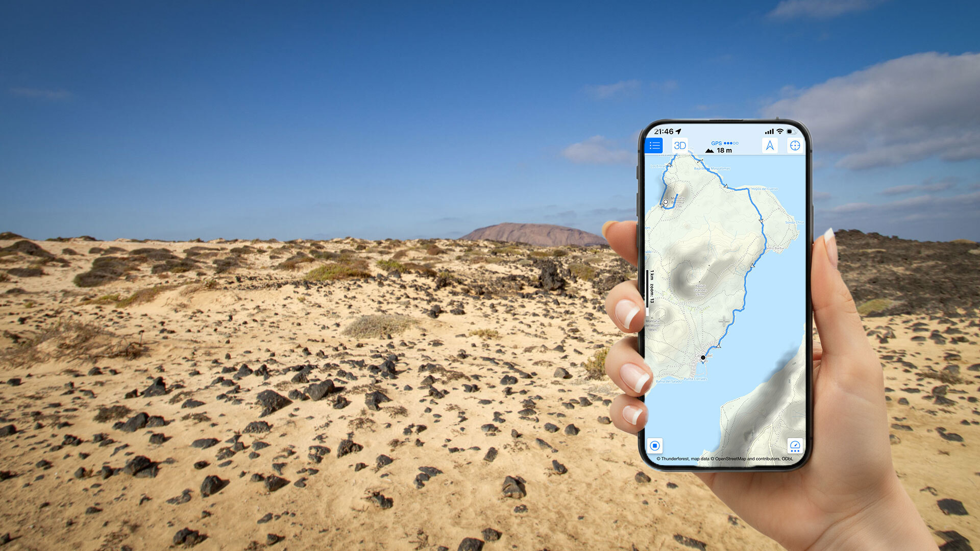
La Graciosano tarmac roads beyond the village limits, no signposted trails, and hardly any mobile signal outside Caleta del SeboWhat’s optional at other destinations becomes essential here: a GPS track, an offline map and a hiking appyou can trust.
Anyone venturing onto the island’s sandy tracks without digital navigation is relying on luck – and that’s not a reliable companion on La Graciosa.
Why apps are indispensable on La Graciosa
No signposts, no mobile signal
The hiking trails on La Graciosa are not signposted trails in the Alpine sense. Sandy tracks, lava fields, stretches of dunes – without guidance, many junctions look identical. In the village Caleta del Sebo there is mobile coverage. Outside the village – particularly in the north and east – the signal drops out quickly.
The golden rule: Download tracks and maps before leaving Caleta del Sebo. If you only realise once you’re on the route that you can’t see anything offline, you’ll have a problem.
The apps in detail
Sunhikes – the information portal for La Graciosa
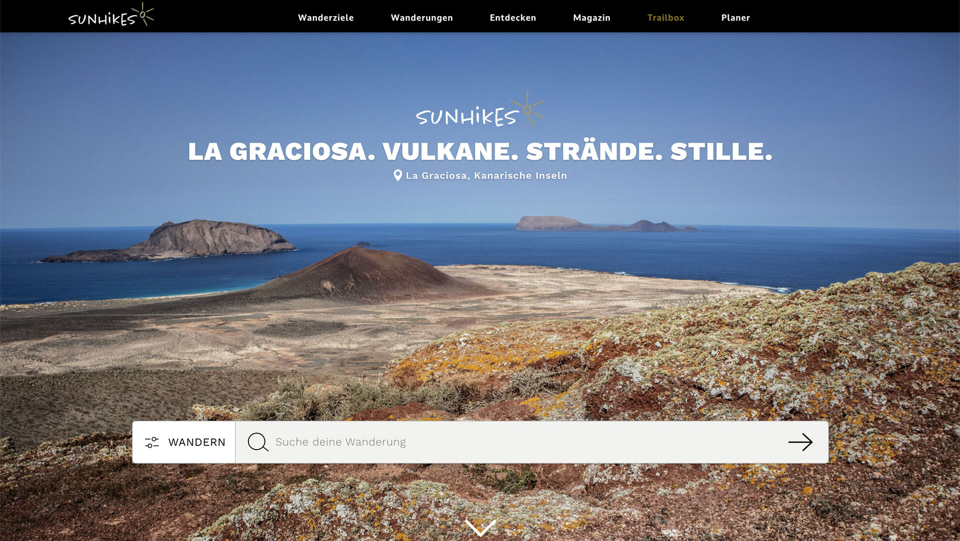
Sunhikes als Hiking portal for La GraciosaAll the relevant routes on the island are curated and presented there: with GPS tracks, elevation profiles, difficulty ratings, route lengths and detailed descriptions. Free, no registration required, usable offline.
What makes Sunhikes special: curated content rather than unfiltered community posts, with all the key La Graciosa routes in one place.
Wikiloc – the community database
Wikiloc is the world’s largest community platform for GPS tracks. For La Graciosa: numerous tracks uploaded by other hikers – of varying quality, but often useful as a supplement. A paid version is required for offline use.
Maps.me – simple, free, offline
Maps.me is based on OpenStreetMap data and works entirely offline – no subscription, no registration required. For La Graciosa: download the relevant map region. Ideal as a backup. No curated walking routes or elevation profiles, but a reliable offline map.
OsmAnd – the offline specialist
OsmAndOffline contour lines, hiking trails, detailed maps – and a user interface that takes a bit of getting used to. Particularly good for more challenging routes such as the Agujas Chicas tour (no marked path, 347 m elevation).
A comparison of the apps
| App | Platform | Cost | Strengths | Offline |
|---|---|---|---|---|
| Wikiloc | iOS + Android | Freemium | Community tracks, database | Yes (paid) |
| Maps.me | iOS + Android | free | Simple offline map | ja |
| OsmAnd | iOS + Android | free | Contour lines, walking trails | ja |
| Maps 3D PRO | iOS | paid | 3D terrain view | ja |
Recommendation: the ideal combination
For most hikers
Sunhikes For route planning, GPS tracks and detailed information. Maps.me As a backup – an offline map in case you stray from the route.
For experienced hikers and challenging routes
Sunhikes + OsmAndcurated tracks plus a detailed offline map with contour lines. Combined, you’ve got everything you need for even the most challenging routes on La Graciosa.
Step-by-step preparation
Before your trip: Open Sunhikes, select routes, download GPS tracks. Open Maps.me, download the map for La Graciosa / Canary Islands. Check all downloads.
On the island: In Caleta del Sebo, double-check the GPS track and app functions. Take a battery saver or power bank with you – GPS uses a lot of power.
⚠️ Safety
Download all tracks before leaving Caleta del Sebo – mobile reception is unreliable afterwards
Take a power bank with you – using GPS drains the battery quickly
Emergency number: 112 (often works even without a signal)
Nature conservation on La Graciosa
- Wild camping prohibited – without exception across the entire island
- Campfires prohibited – including on the beach
- Bicycles may only be ridden on designated tracks
- Do not take any stones, shells or plants with you
- Archipiélago Chinijo Nature Park · Lanzarote UNESCO Biosphere Reserve · Reserva Marina del Archipiélago Chinijo
Frequently asked questions
Yes – dedicated GPS devices (e.g. Garmin) are a reliable alternative, particularly for long or off-track routes such as Agujas Chicas. Download and import GPX files from Sunhikes.
A power bank is the best way to prevent this. Alternatively, charge your device in Caleta del Sebo before setting off. In an emergency, head towards the coast and make your way to the nearest village.
Conclusion
- Sunhikes is the essential hiking portal for La Graciosa – curated and free of charge.
- The combination of Sunhikes and Maps.me covers all your needs.
- Download all tracks before leaving Caleta del Sebo – mobile coverage is unreliable after that.
This article is based on on-site research by the go-la-graciosa.com editorial team. Last updated: April 2026
GPS track & route description: sunhikes.com/en/hiking-destinations/spain/lanzarote/la-graciosa