The Unknown East – A stroll to Playa del Salado
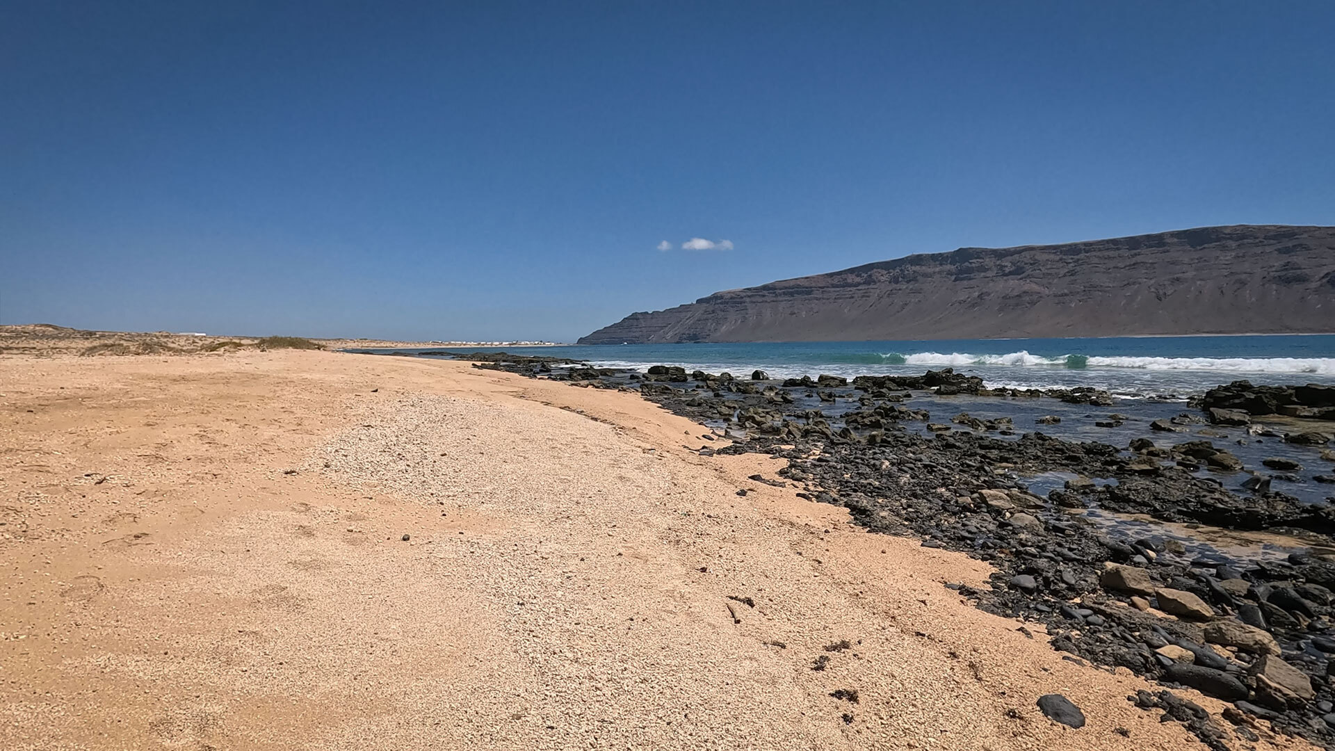
Playa del Saladosalty, windy, secluded. A beach to the east of La Graciosa– a beach hardly anyone knows about, as everyone simply walks past it. And that is precisely why it is so special. The route there takes you through a magnificent dune landscape, with sweeping views of the Famara Mountains and the El Río strait. At the end: a place that stands entirely on its own.
Route details
| Route details at a glance | |
|---|---|
| Start | Caleta del Sebo (harbour) |
| Finish | Playa del Salado (Bahía del Salado) |
| Length | approx. 2.5 km (one way, depending on the route) |
| Elevation gain | ca. 20–40 hm |
| Walking time | 0.5–1 hour (one way) |
| Difficulty | Easy |
| Signposting | None – GPS track |
| Location | East of the island |
| Highlights | Salt formations · Lagoon at low tide · Seclusion |
The beach: what makes Playa del Salado special
Location and character
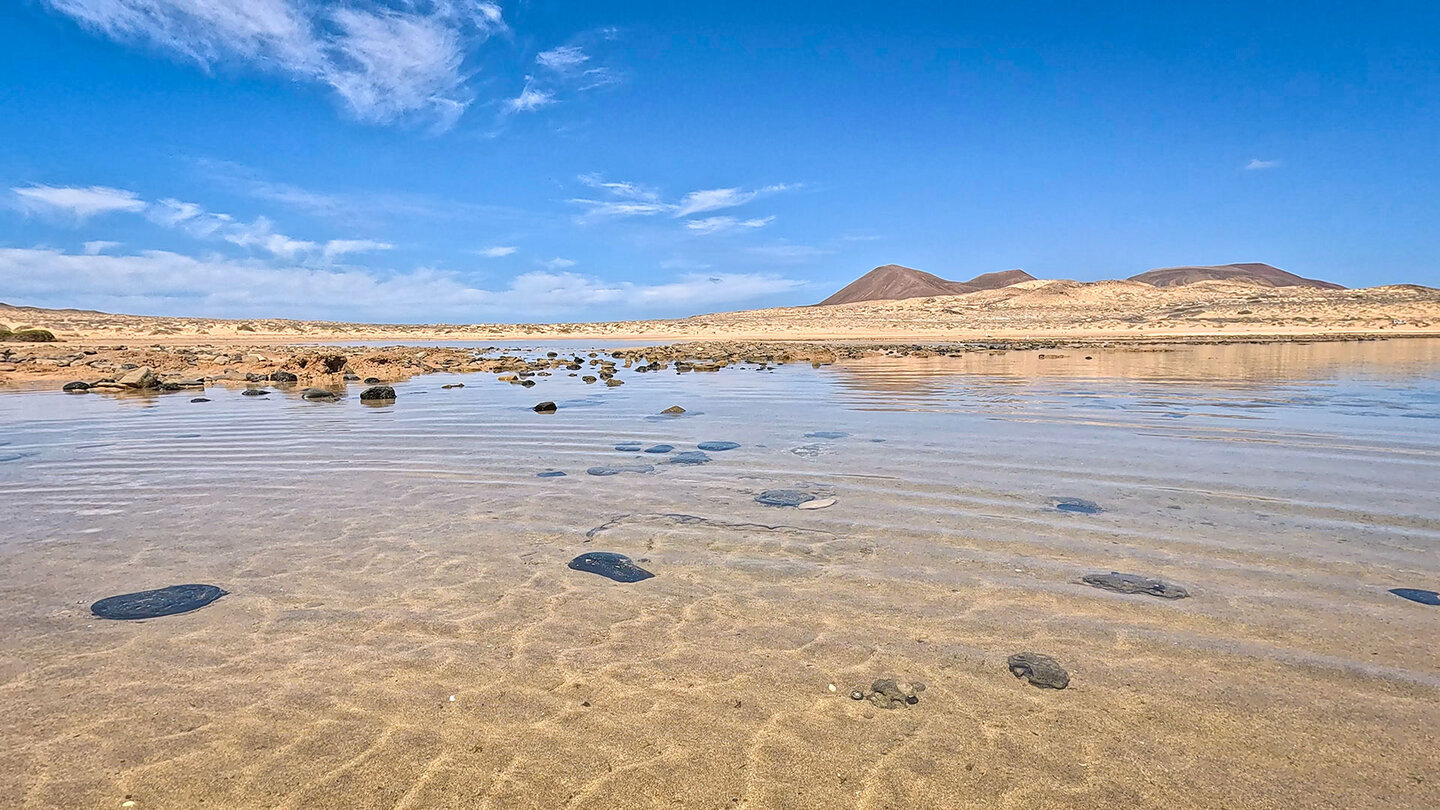
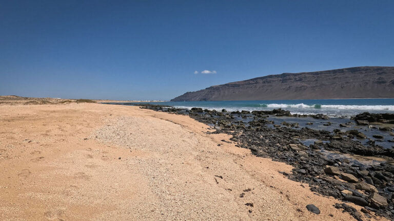
Playa del Salado is situated in east of La Graciosa – a flat, open coastal area with light-coloured sand, rock formations and a lagoon that opens up at low tide. No kiosk, no lifeguard, no hustle and bustle. Just the Atlantic, the wind and silence.
Salt formations and the spectacle of low tide
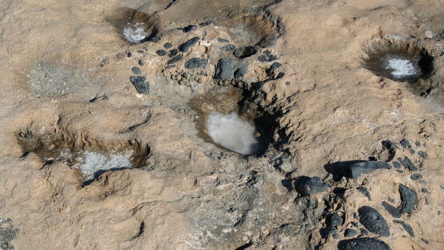
What makes the beach unique: the salt deposits in the cavities of the rocks. Evaporated seawater leaves white crystals in the hollowed-out lava rocks – a sight rarely seen on the other Canary Islands. At low tide, you can wade through the lagoon and marvel at small crabs, fish and impressive rock formations.
The route there
The route from Caleta del Sebo leads south along sandy tracks and then along the coastline. Along the way: vast sandy landscapes, lava fields and sea lavender. The path is not officially signposted – a GPS track is helpful.
Swimming conditions: moderate currents possible
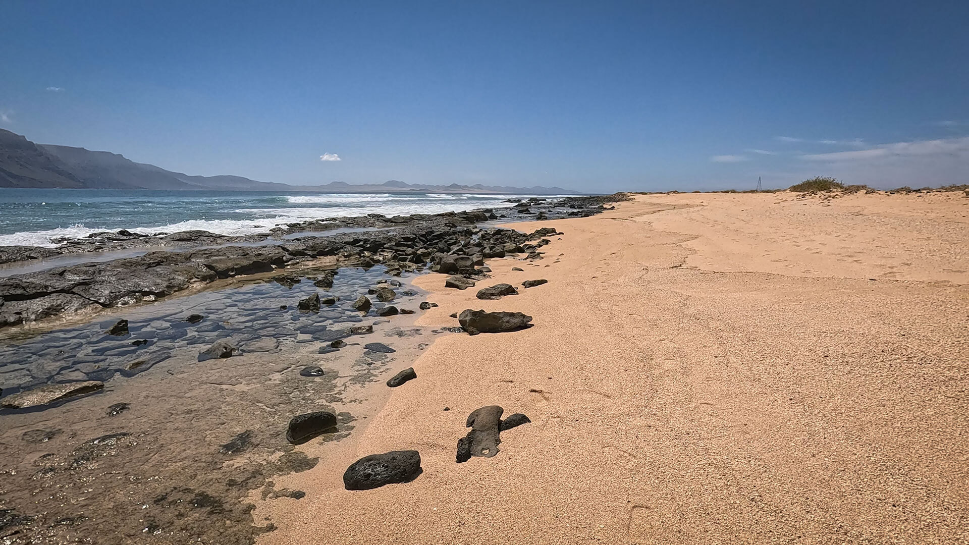
Currents possible – Check local conditions. Playa del Salado This is not a beach with an absolute ban on swimming, but it is not a quiet family beach: the north-easterly wind is often noticeable here. Swimming is possible in calm weather with a light swell.
⚠️ Safety
Currents possible – check local conditions; no absolute ban on swimming
No lifeguard – swim at your own risk
No kiosk – bring everything from Caleta del Sebo
North-easterly trade winds: strong winds possible – pack a jacket
GPS track essential – no signposting
Frequently asked questions
In calm weather and with a light swell, yes – currents are possible, so always check conditions on site. There is no outright ban on swimming, but caution is advised.
Walk back to Caleta del Sebo (same route or coastal alternative) or book a jeep taxi in advance. Safari Taxi La Graciosa +34 679 45 36 16 · Safari La Graciosa +34 683 30 54 59
At low tide, the water recedes, revealing a shallow lagoon – featuring rock formations, salt deposits and a play of colours in shades of white, black and ochre. A photographic highlight.
Conclusion
- Playa del Salado is the least well-known beach in the east of La Graciosa – secluded, salty, unforgettable.
- Salt formations and the lagoon at low tide make it a photographic highlight.
- A GPS track is helpful; bring water with you; check the currents on site.
This article is based on on-site research by the go-la-graciosa.com editorial team. Last updated: April 2026
GPS track & route description: sunhikes.com/de/hiking-destinations/spain/lanzarote/la-graciosa